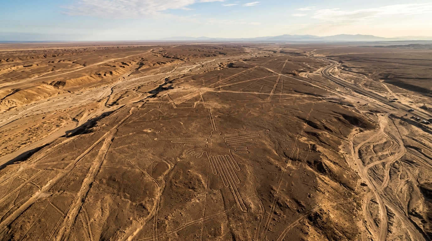
Nazca Lines
Massive geoglyphs only visible from the air, built by a culture that had no known means of achieving aerial perspective.
What mainstream archaeology says
The Nazca Lines were created by the Nazca people between 500 BC and 500 AD by removing reddish pebbles to reveal the lighter ground beneath.
What the evidence actually shows
The lines maintain near-perfect geometric precision over distances of several miles. The scale and design of many figures is only comprehensible from altitude. While the mechanics of creating the lines can be theorized, the purpose and intent behind figures that can only be properly seen from the air — created by a culture with no flight technology — remains genuinely open.
Key facts
- ◆Some lines extend for over 9 miles in near-perfect straight lines
- ◆Animal and geometric figures up to 1,200 feet across
- ◆Preserved by the world's driest climate for 1,500+ years
- ◆Geoglyphs remain perfectly visible from aircraft at 1,500 feet altitude
Visit Nazca Lines
Aaron leads private expeditions to this site. Tell him it's on your list and he'll build the rest of the itinerary around it.
Plan This VisitSite Info
Related Sites
Vinicunca (Rainbow Mountain)
A mountain whose geology tells a story of tectonic upheaval on a scale and timeline that rewrites Andean natural history.
Sacsayhuaman
200-ton blocks moved miles from the quarry, fitted with zero mortar — modern engineers can't explain it.
Chinchero
Polygonal stone walls with less than 0.5mm tolerance — no crane, no mortar, no explanation.